DeepLobeSeptember 28, 2022Artificial Intelligence , Computer Vision , Deep Learning
GeospatialAI or GeoAI is an evolving field aiming to help organize, process, and analyze spatial big data with spatial science and AI methods like machine learning, deep learning, data mining, and high-performance computing. The increased availability of geospatial data, advancements in AI, and the availability of massive computing power have resulted in the mounting relevance and potential of GeoAI.
Geospatial analytics uses Geographic Information Systems (GIS) to collect, store, and analyze data. According to a report, this market is expected to grow at a rate of 16.46% from 2021 to 2030. The introduction of sophisticated tools such as 3D tools, HD imagery, terrestrial scanning, artificial intelligence, the internet of things (IoT), and Big data has a significant role in boosting the application of geospatial analytics, enhancing the precision and analytical input required for surveying purposes.
Trends and Technological Advancements Shaping GeospatialAI
The confluence of geospatial and AI presents many exciting possibilities for the future, with uses ranging from drones to autonomous vehicles to disease outbreaks to earthquake predictions, and more. There are many companies already pursuing such opportunities, but here are a few trends and technological advancements that are likely to shape the future of GEO AI as we know it today.
- Accurate data – It is important that data is accurate and dependable for AI algorithms to be effective and unprejudiced. If data is edited or changed in any way, it could lead to harmful consequences. Thus, advancements in making data more reliable and safe when exchanging it with other applications will likely reduce the number of data silos.
- Application-specific or custom GPUs – GPUs have been the chip of choice for AI/ML tasks. However, this is changing with the advent of general-purpose GPUs (GPGPUs), AI-specific GPUs, and ASICs. These new technologies will enable the use of more resource-intensive deep learning techniques.
- Digital twin – The use of digital twin technology creates digital copies of physical objects such as vehicles, equipment, buildings, factories, or even complete cities/regions. The technology enables the application of geospatial AI/ML methods to estimate results given under different conditions to discover efficiencies and other advantages.
- Edge computing – Edge computing has the potential to revolutionize geospatial AI/ML applications by moving processing closer to the satellites and sensors that collect the data. This would allow for near-real-time analysis and could dramatically improve the accuracy of these applications.
- Quantum computing – Quantum computers can handle vast amounts of data much more quickly than traditional computers, making them ideal for use in geospatial AI/ML applications that require complex models and large data sets.
How GeospatialAI is Transforming Big Data
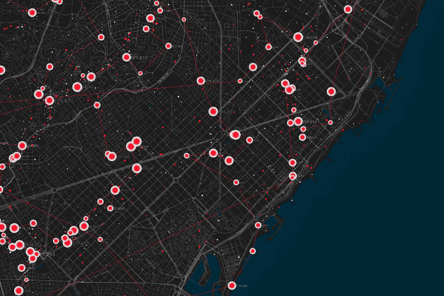
Geospatial Artificial Intelligence and big data have been making waves in the geospatial industry, and they’re changing the way developers, data scientists, and business leaders think about GIS data. This innovative new approach to computer vision uses deep learning to identify objects, locations, and patterns within massive volumes of geospatial data by their geographical location rather than by hard-coding specific rules of what constitutes an object or location. Geospatial AI has the potential to revolutionize the future of big data and will likely become the new norm in GIS technology over the next decade.
The volume of data generated from a wide variety of sources, combined with the development of new processing and storage technologies, has made it possible to use data in ways that were impossible a decade ago. With the term “big data” generally used to describe volumes of information too large for traditional data management systems to handle, this explosion in the amount of available information has led organizations to examine how they can best take advantage of their new-found wealth. One method being applied is geospatial analytics which uses location-specific data collected over time to help businesses better understand customer behavior. By analyzing high-volume datasets such as credit card transactions, web traffic, and cellphone records – including precise location coordinates – analysts can provide insights into customers’ buying habits and locations.
Steps to succeed in a Geospatial data analysis
- Identify the appropriate geospatial data to be analyzed.
- Determine the spatial extent of the dataset.
- Perform a data quality assessment of the geospatial dataset to ensure that it meets your requirements for accuracy, completeness, validity, and timeliness.
- Create and apply a geostatistical model or other statistical models to analyze the data.
- Identify outliers or other anomalies in the data that could be due to human or natural intervention.
- Extract insights from the analysis and communicate them through visualizations and/or storytelling.
- Communicate these insights to enable social impact with tangible actions.
Applications of GeoAI
AI has been transforming the way we do business for a long time. However, it’s only recently that we’ve seen an increased interest in geospatial data and its application to big data. The combination of these two forces has created a new generation of technologies and applications that will have far-reaching impacts on our lives. From self-driving cars to high-tech construction to identifying opportunities to improve healthcare in rural communities to mapping changing patterns of agriculture and land use over time, it seems like there’s no shortage of potential uses for this technology.
- Geo-data discovery
- 3D modeling
- Geo-analytics and visualization
- Sensor data management
- Mobile mapping apps
- Location intelligence and supply chain optimization
- Modeling and simulation
- Disaster risk reduction
- Environmental change detection
- Resource exploration
- Robotics and drones
As the world becomes more reliant on technology, so does the way we analyze data. As a result, geospatial data has become a vital component of how we collect and analyze our data. Geospatial data provides information about where something is, what it is, and how it relates to other items and events. This type of data allows us to provide predictive analytics for everything from healthcare and traffic patterns to the environment in which we live.
If you resonate with this article and are interested in deploying machine learning and deep learning-powered computer vision, please feel free to check out DeepLobe and contact us for further inquiries.
Share: